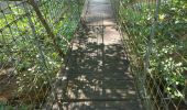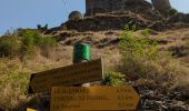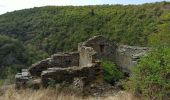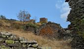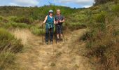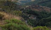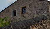

Château de Tournel

nolsim
Gebruiker

Lengte
14,1 km

Max. hoogte
1238 m

Positief hoogteverschil
571 m

Km-Effort
22 km

Min. hoogte
911 m

Negatief hoogteverschil
570 m
Boucle
Ja
Datum van aanmaak :
2023-08-30 07:05:49.949
Laatste wijziging :
2023-08-30 14:32:19.704
7h25
Moeilijkheid : Medium

Gratisgps-wandelapplicatie
Over ons
Tocht Stappen van 14,1 km beschikbaar op Occitanië, Lozère, Mont Lozère et Goulet. Deze tocht wordt voorgesteld door nolsim.
Beschrijving
Belle rando, quelques magnifiques points de vue.
Plaatsbepaling
Land:
France
Regio :
Occitanië
Departement/Provincie :
Lozère
Gemeente :
Mont Lozère et Goulet
Locatie:
Unknown
Vertrek:(Dec)
Vertrek:(UTM)
553095 ; 4928133 (31T) N.
Opmerkingen
Wandeltochten in de omgeving

lundi


Andere activiteiten
Medium
(1)
Mont Lozère et Goulet,
Occitanië,
Lozère,
France

10,3 km | 14,5 km-effort
3h 29min
Neen

Clochers de tourmente


Stappen
Medium
(2)
Mont Lozère et Goulet,
Occitanië,
Lozère,
France

19,2 km | 27 km-effort
6h 8min
Ja
Tournel Oulmes


Stappen
Gemakkelijk
Mont Lozère et Goulet,
Occitanië,
Lozère,
France

6,5 km | 9,4 km-effort
2h 40min
Ja
Auriac - Nissoulorgues


Paard
Moeilijk
Mont Lozère et Goulet,
Occitanië,
Lozère,
France

30 km | 39 km-effort
5h 11min
Neen
Auriac - Nissoulorgues


Paard
Moeilijk
Mont Lozère et Goulet,
Occitanië,
Lozère,
France

30 km | 39 km-effort
5h 11min
Neen
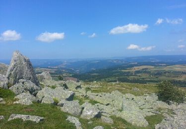
mont lozere


Stappen
Gemakkelijk
Lanuéjols,
Occitanië,
Lozère,
France

14,4 km | 19,9 km-effort
4h 2min
Neen
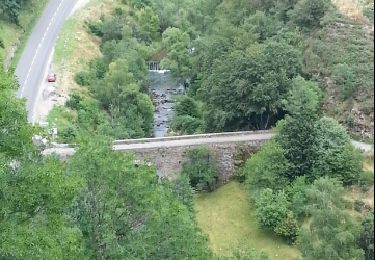
château de la tournelle


Stappen
Medium
Allenc,
Occitanië,
Lozère,
France

12,3 km | 17,9 km-effort
3h 42min
Neen
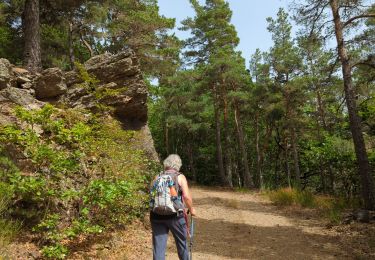
La Loubière - Lanuéjols


Stappen
Medium
Chadenet,
Occitanië,
Lozère,
France

17,7 km | 24 km-effort
4h 26min
Ja
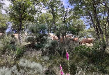
bagnols les bains Oultet St julien


Stappen
Medium
Mont Lozère et Goulet,
Occitanië,
Lozère,
France

13 km | 18,8 km-effort
5h 9min
Ja


 SityTrail


